Both scientists and the public can navigate a new global image of the Red Planet that was made at Caltech using data from NASA’s Mars Reconnaissance Orbiter.
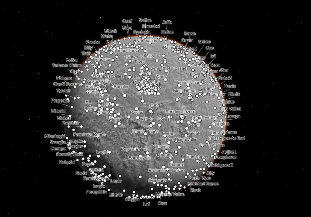
Both scientists and the public can navigate a new global image of the Red Planet that was made at Caltech using data from NASA’s Mars Reconnaissance Orbiter.
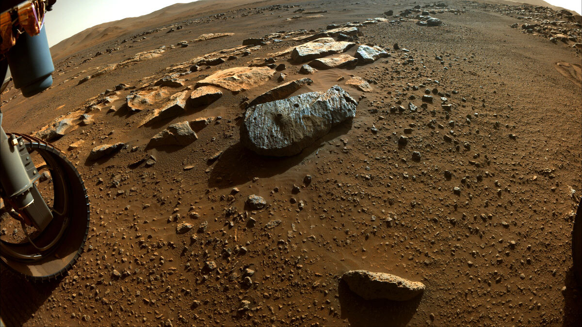
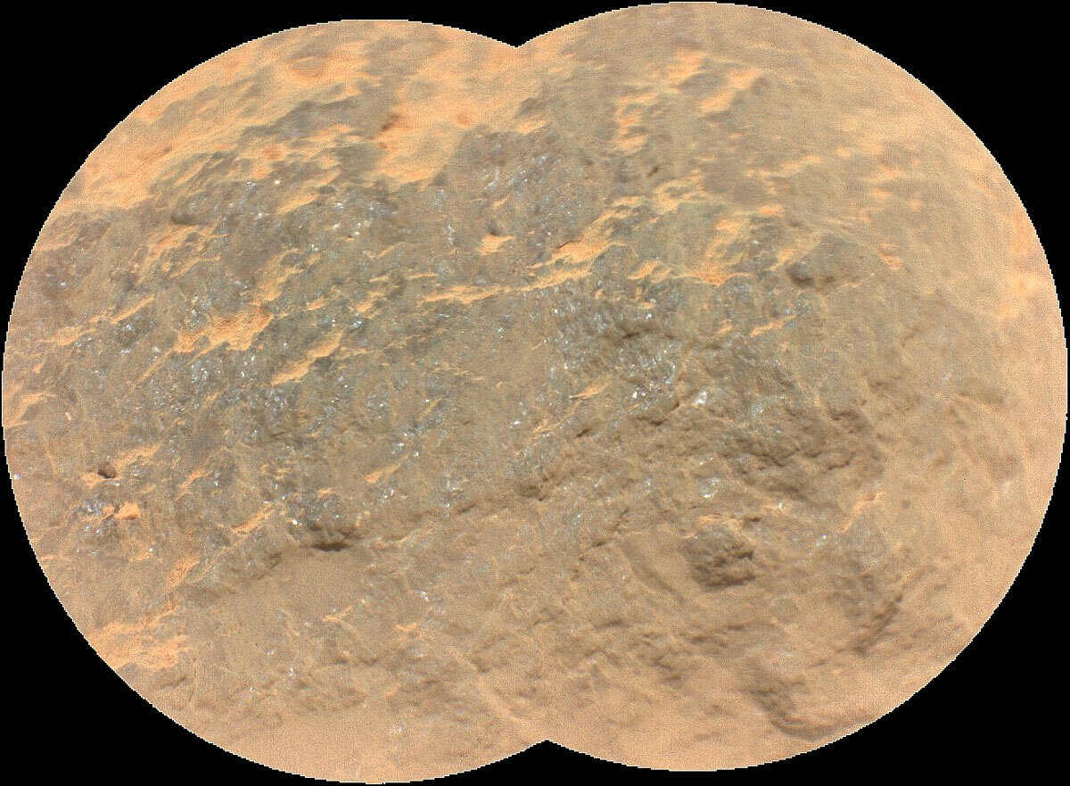
The rocks it has analyzed for sample collection are helping the team better understand a past marked by volcanic...
Mark your calendars: The agency’s latest rover has only about 8,640,000 seconds to go before it touches down on...
Dusty solar panels and darker skies are expected to bring the Mars lander mission to a close around the...
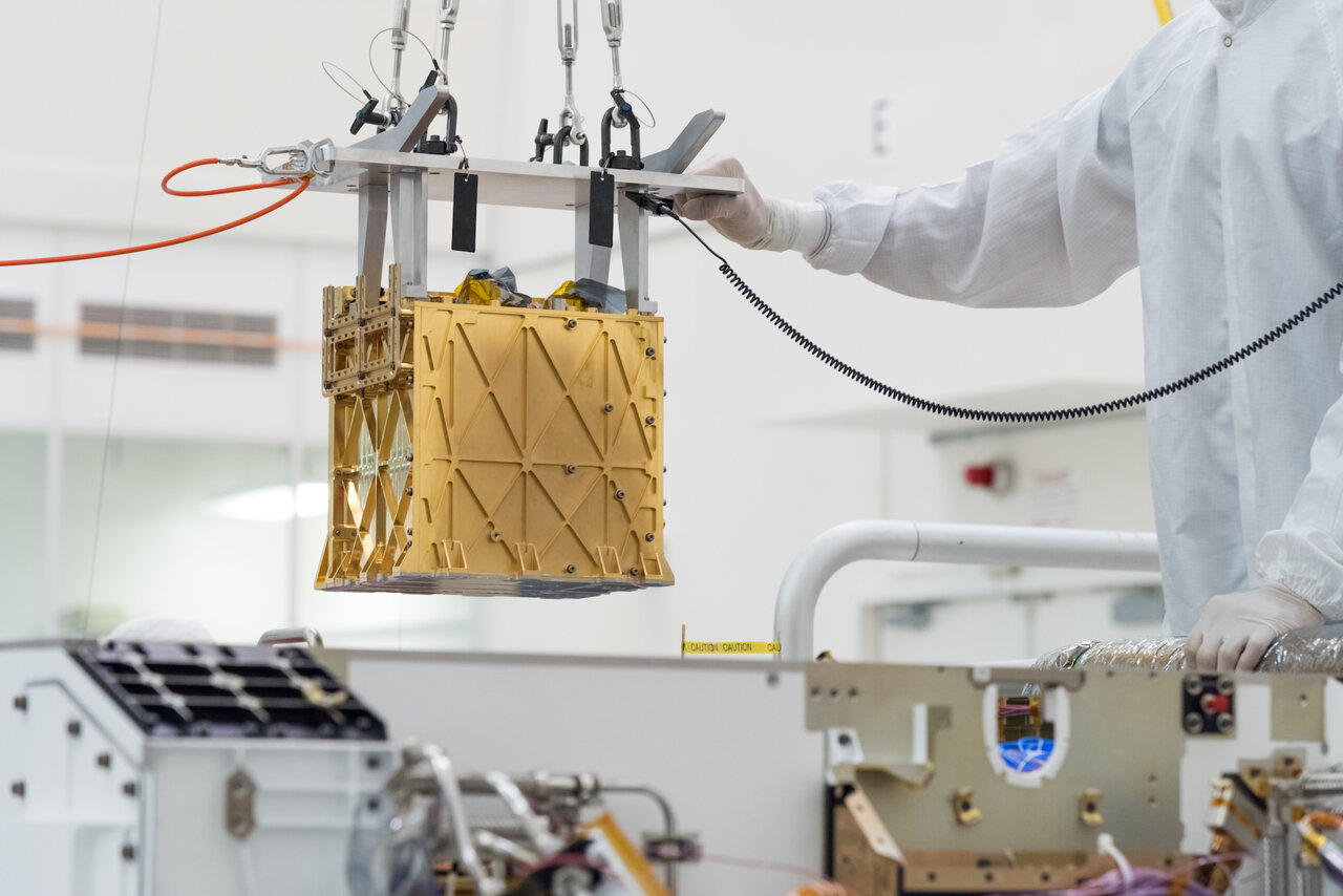
The milestone, which the MOXIE instrument achieved by converting carbon dioxide into oxygen, points the way to future human...
Now uncocooned from its protective carbon-fiber shield, the helicopter is being readied for its next steps. Read More
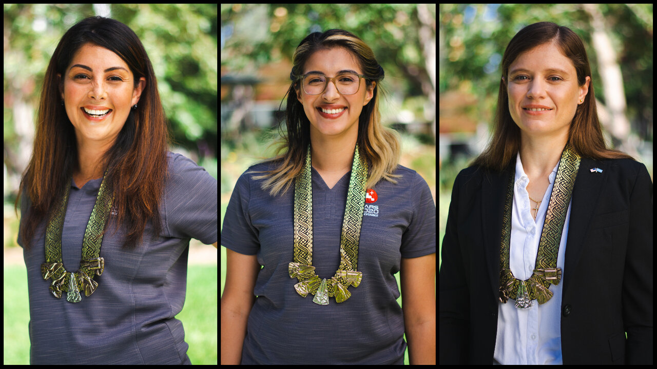
The three award recipients – Diana Trujillo, Christina Hernandez, and Clara O’Farrell – are engineers from the NASA rover...
Data from the powerful science tool includes sounds of its laser zapping a rock in order to test what...
Three studies published in the past month have cast doubt on the premise of subsurface lakes below the Martian...

